
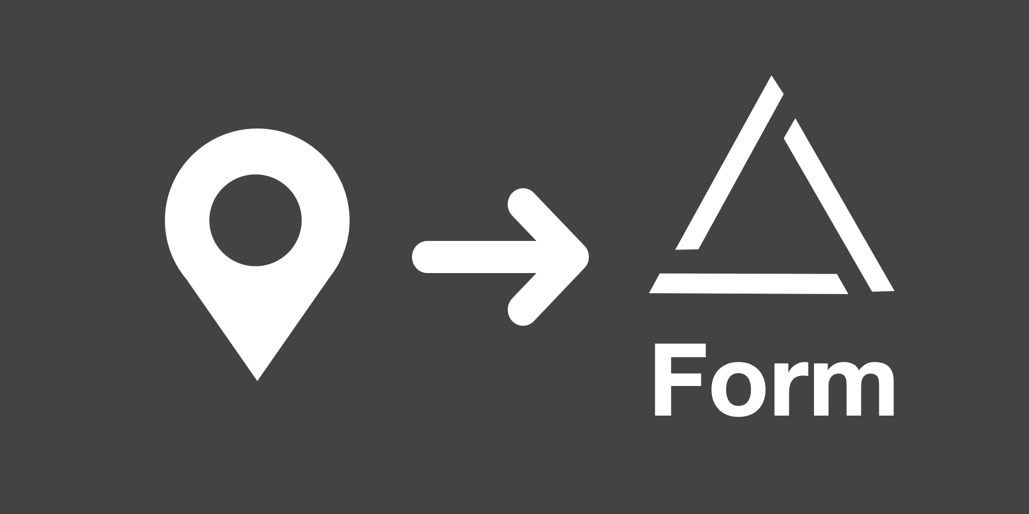
This powerful automation simplifies the process of converting geographical coordinates into human-readable addresses. Imagine having latitude and longitude values at your fingertips and wanting to transform them into a more understandable format – that’s where this automation shines. Features 💡Tip This automation works perfectly together with a form that collects GPS location. Use Cases This […]

Turn them into latitudes and longitudes and show them on a map
Add users’ coordinates and IPs to Airtable


Send the user’s IP address and coordinates to Airtable when they submit a form
Extract the latitude/longitude coordinates from image attachments and add them to Airtable